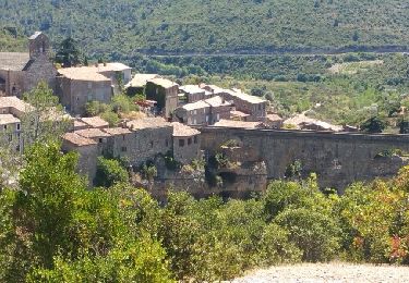
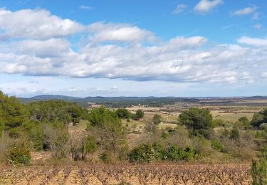
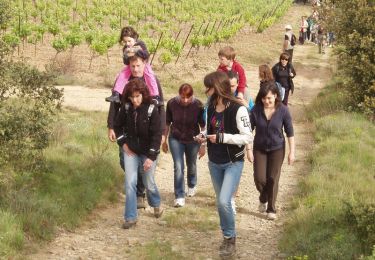
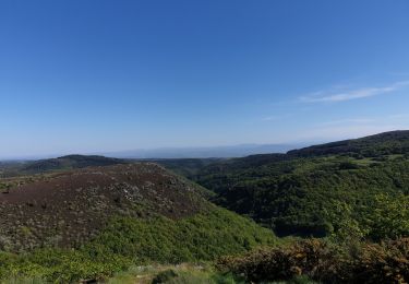
Trail Walking La Redorte - La Redorte étang de l'Estagnol - Photo

La Redorte étang de l'Estagnol

 belhache
belhache

User

© OpenStreetMap contributors
Length
Length
11.5 km
Max alt
Max alt
107 m
Uphill gradient
Uphill gradient
119 m
Km-Effort
Km-Effort  
13 km
Min alt
Min alt
52 m
Downhill gradient
Downhill gradient
119 m
Boucle
Boucle
Yes
Creation date :
2019-01-16 10:47:41.059
Updated on :
2019-01-16 10:47:41.059

(0 Reviews)

Walking
Walking
2h46
Difficulty : Unknown

Scan this QR Code to open this trail in the SityTrail application

FREE GPS app for hiking

Logo SityTrail SityTrail

IGN / Geographical institutes

Download SityTrail from the App Store Download SityTrail from Google Play

Logo SityTrail SityTrail World

The world is yours!

Download SityTrail from the App Store Download SityTrail from Google Play Download SityTrail on Huawei AppGallery

About

Trail Walking of 11.5 km to be discovered at Occitania, Aude, La Redorte. This trail is proposed by belhache.

Description

facile

Elevation profile

Positioning

Country:
France
Region :
Occitania
Department/Province :
Aude
Municipality :
La Redorte
Location:
Unknown
Start:(UTM)
472384 ; 4788470 (31T) N.

Trails nearby

Trail Cycle Azille - ferrals le bois minerve - Photo
Cycle
F.Rioland

Cycle

Very easy
(1)
Azille, Occitania, Aude, France
57 km | 70 km-effort
4h 19min
Yes
Trail Cycle Azille - trois col en minervois - Photo
Cycle
F.Rioland

Cycle

Very easy
(1)
Azille, Occitania, Aude, France
86 km | 108 km-effort
5h 36min
Yes
Trail Walking Escales - ESCALES - La tour Romane - Photo
Walking
Licianus2

Walking

Very easy
(1)
Escales, Occitania, Aude, France
4.2 km | 5.6 km-effort
1h 5min
Yes
Trail Cycle Homps - CanalduMidi_Minerve - Photo
Cycle
m261212

Cycle

Medium
(1)
Homps, Occitania, Aude, France
41 km | 47 km-effort
2h 43min
No
Trail Walking Castelnau-d'Aude - En Corbières - Le Bosquet - Castelnau d'Aude - Photo
Walking
tracegps

Walking

Medium
Castelnau-d'Aude, Occitania, Aude, France
4.8 km | 5.8 km-effort
2h 30min
Yes
Trail Road bike Azille - Salette croix de sou - Photo
Road bike
F.Rioland

Road bike

Difficult
Azille, Occitania, Aude, France
72 km | 91 km-effort
5h 19min
Yes
Trail Walking Homps - Homps Olonzac - Photo
Walking
marcheur75

Walking

Medium
Homps, Occitania, Aude, France
6 km | 6.3 km-effort
1h 26min
Yes
Trail Walking Homps - Homps - Photo
Walking
meillon

Walking

Easy
Homps, Occitania, Aude, France
4 km | 4.2 km-effort
1h 15min
Yes
Trail Walking Olonzac - lac de jouarres - Photo
Walking
michelsemulue

Walking

Medium
Olonzac, Occitania, Hérault, France
5.9 km | 6.4 km-effort
1h 25min
Yes


Close
My subscriptions